Position Partners provides advice for landfill operators on what to consider when investing in a remotely piloted aircraft system.
Australian landfill operators are increasingly turning to Remotely Piloted Aircraft Systems (RPAS) to help monitor their sites remotely, according to Position Partners, a leading provider of surveying equipment.
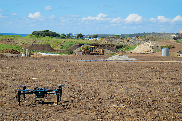
Commonly referred to as drones, Gavin Docherty, Position Partners RPAS Product Manager, says RPAS greatly eliminates the need for surveyors to manually survey a site on foot.
“RPAS can be used in the waste industry for accurate volume calculations, progress reports and site management,” Gavin says.
CHOOSING THE RIGHT RPAS
When it comes to selecting an RPAS, Gavin explains that there are a multitude of options to consider, from the quality of the camera to near-infrared to detect heat levels, and Light Detection and Ranging, used to measure the distance to a target. This is combined with investigating the ever-growing number of software systems for processing, analysing and presenting the data.
But out of all these considerations, Gavin says that for landfill operators, having accurate survey-grade data should be the priority. He says that many RPAS options require ground control points for accurate references. Ground control points are large, marked targets on the ground, spaced throughout an operator’s area of interest. Gavin notes that setting these out on unstable and uneven terrain could be dangerous.
“Luckily, there are now options that don’t require setting out ground control points, including the Sirius Pro by MAVinci. This fixed-wing RTK aircraft uses on-board and ground-based GNSS to effectively place ground control in the air, removing the need to physically set them out on the ground,” he says.
Real time kinematic or play post processed kinematic systems also eliminate the need for ground control points. Similarly to the Sirius Pro, landfill operators can use these system to set up a safe location as a base station to deliver accuracy across the whole range of the site.
IT’S THE DATA THAT MATTERS
Gavin says that unlike traditional survey methods such as optical instruments and global navigation satellite systems, RPAS technology captures all data.
“As with all things computing, the ability to store and handle increasing sizes of data is expanding rapidly with more powerful processors and faster internet speeds. Yet software downloads and local storage of data continues to be a pain point for many, especially those working in large corporations or government agencies,” he says.
He says new innovations such as Propeller Aero offer a web-based data processing, viewing and sharing portal that negates the need to download software. Propeller offers powerful visualisation tools that enable the user to view historical data sets layered on top of one another, giving an instant picture of how the landscape has changed over time. It offers comprehensive project records along with more efficient and collaborative surveying methods.
Read the full story on page 52 of Issue 14.