As technological changes advance the landfill industry, Landair Surveys, a leading surveying firm in Australia, has introduced a new generation of aerial surveying solutions for its landfill clients.
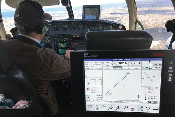
With the latest purchase of the ultra-modern Leica RCD30 airborne camera for photogrammetric and remote sensing applications, the surveyors at Landair Surveys say they have redesigned the whole end-to-end aerial surveying solution, slashing their turnaround time by more than 60 per cent and introducing a whole range of new services. Ray Cox, a director at Landair Surveys, says some of the benefits for landfill operations include: higher quality and more geometrically accurate imagery; shorter processing time; near infrared imagery; reduction of site access risks; increased reliability and additional data deliverables.
“For better imagery, the aerial camera has a fully calibrated lens and is attached to a gyro-stabilised mount correcting level fluctuations and drift. Unlike drone imagery, camera distortions are isolated and removed from the images instead of being propagated throughout the final data,” Ray says.
By integrating cloud-based IT solutions, Ray says Landair has slashed the processing time required between collecting data and processing it, and with highly-efficient software packages urgent projects can be completed the next day.
“In terms of near infrared imagery, the NIR band is collected at the same time as the normal colour imagery and can be used to monitor landfill vegetation health. This can be particularly useful in monitoring capped landfills for potential liner failures,” Ray says.
Through the use of accurate real-time GPS measurements for each image capture, the need for on-site ground control points is also significantly reduced.
Ray adds that future flyovers will be less dependent on weather conditions. Thanks to the better camera sensor, imagery can be captured in less favourable lighting conditions. Finally additional data is on hand through large area point-cloud and textured mesh data sets, which can be generated allowing high-resolution 3D visualisation and measurements.
landair.com.au/aerial